Create new trail system maps or update outdated records with precision GPS mapping, stunning aerial photography, and detailed orthomosaics.
Starting from scratch? We'll create a comprehensive GIS map of your entire trail system from the ground up. Our process includes field GPS data collection and professional cartography to deliver maps that are both functional and beautiful.

Trail networks evolve—new paths emerge, old routes close, and conditions change. We'll bring your existing GIS data into the modern era with fresh GPS maps, updated trail conditions, and current spatial accuracy that reflects reality on the ground.
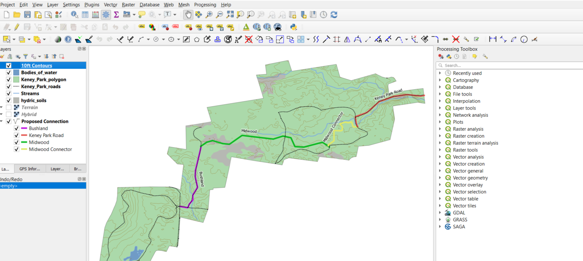
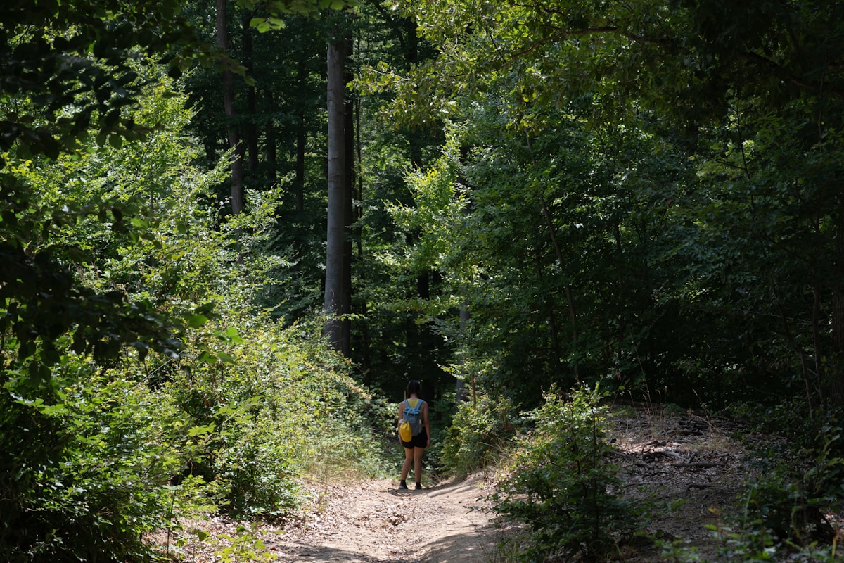
We GPS map your entire trail network from the ground, walking or riding every trail to capture accurate spatial data. This comprehensive field survey replaces outdated records with current, reliable information that reflects the true state of your trail system.
Every trail is physically walked/riden with GPS equipment, ensuring your maps reflect reality on the ground.
We map main trails, connector trails, social trails, and access points to give you a comprehensive view of your entire trail ecosystem.
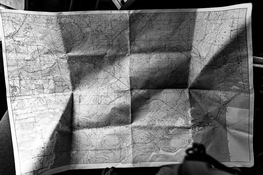
Replace decades-old hand-drawn maps or inaccurate GPS tracks with modern, precision spatial data that meets current GIS standards.
Industry-standard GIS file formats compatible with all major mapping software
Trail names, surface types, lengths, and custom attributes
Raw GPS data for verification and future reference
Professional cartographic maps for kiosks, brochures, and signage
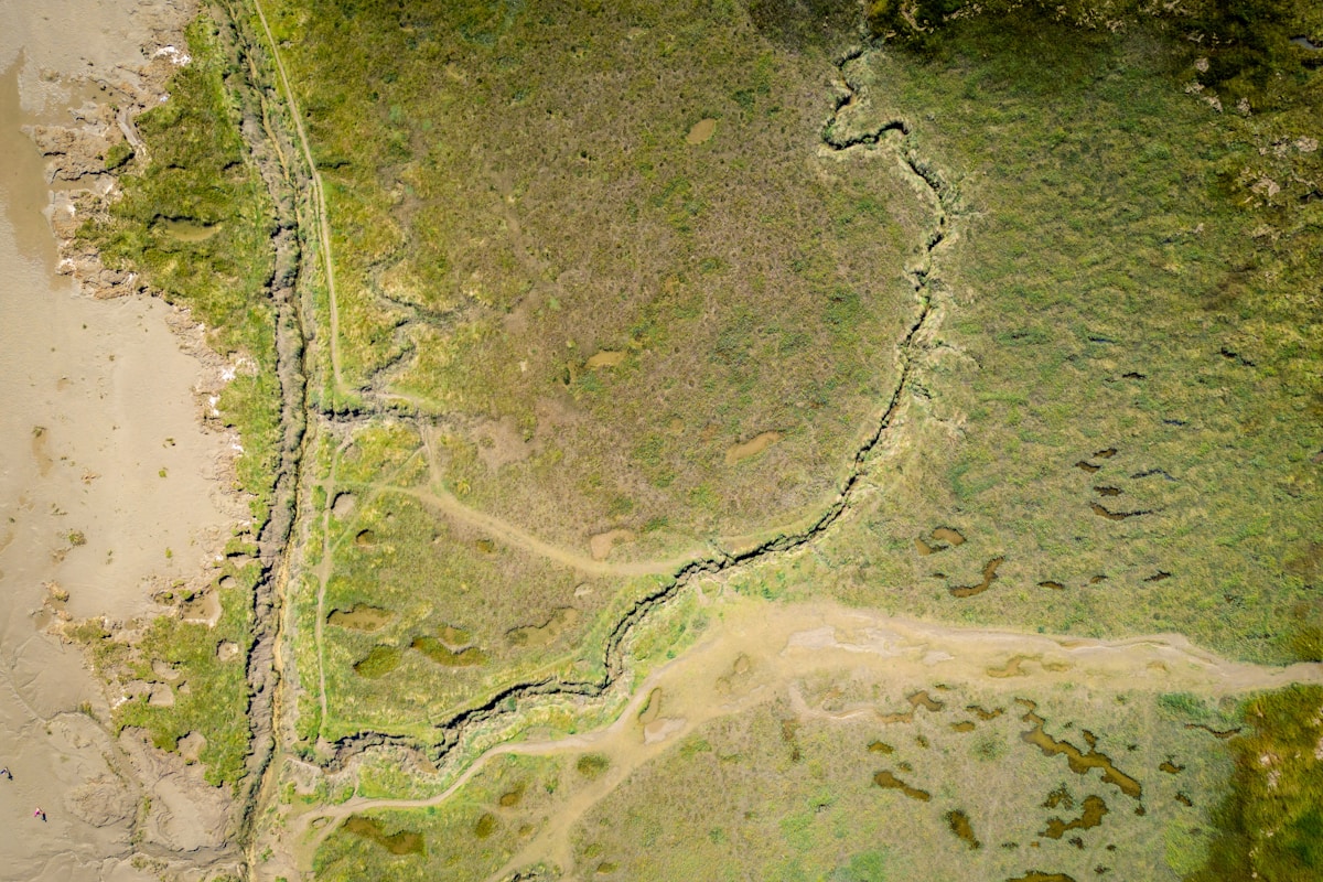
Make your maps stand out with stunning aerial photography and precision orthomosaics. These high-resolution imagery layers provide context, visual appeal, and valuable spatial information that standard maps simply can't deliver.
Drone-captured photography providing detailed visual context of your trail corridors and surrounding landscape.
Seamlessly stitched, spatially accurate image mosaics that integrate perfectly with your GIS data layers.
Create stunning visual presentations for stakeholders, funders, and the public that showcase your trail network like never before.